Land Registry
In ProgressMap-based property search platform with price, area, and type filters.
ReactLeafletOpenStreetMapNode.js
Overview
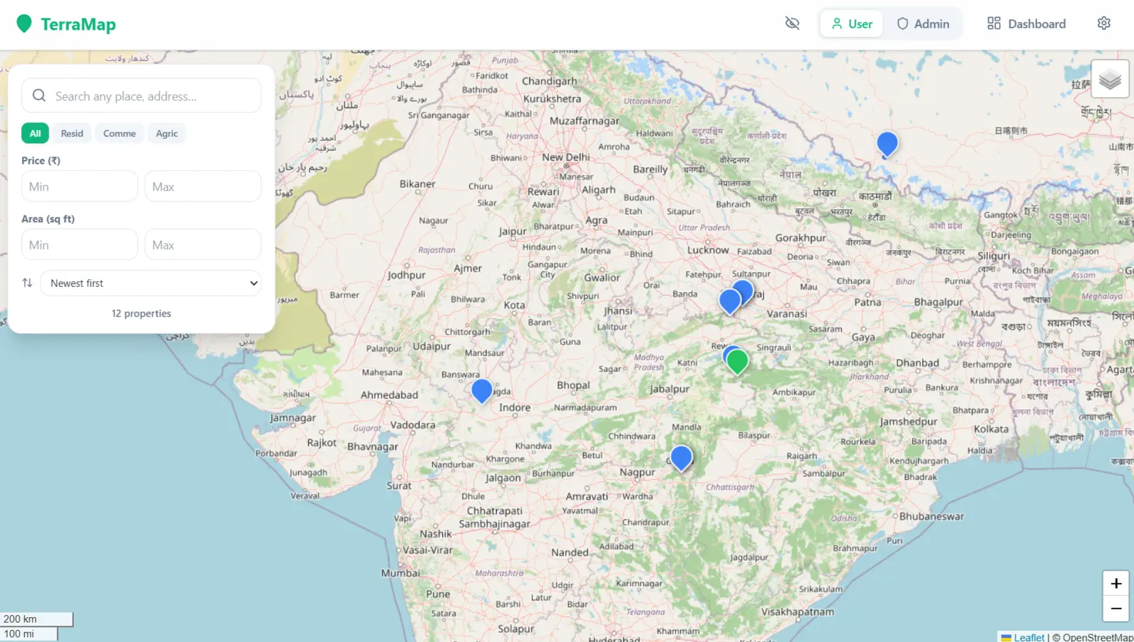
Land Registry is a full-stack web app for browsing land and property listings on an interactive map, with filtering by type, price, and area, plus separate User and Admin views.
Problem
Property listings are often hard to explore spatially — most listing sites give you a flat list with no easy way to see where properties actually are relative to each other.
Solution
An interactive map (built on Leaflet/OpenStreetMap) that plots every listing as a pin, with a filter panel for property type (Residential / Commercial / Agricultural), price range, area range, and sort order.
Features
- Interactive map view with property pin markers
- Filter by type, price range, and area (sq ft)
- Sort listings (e.g. newest first)
- Separate User and Admin views, plus a dashboard